What it is
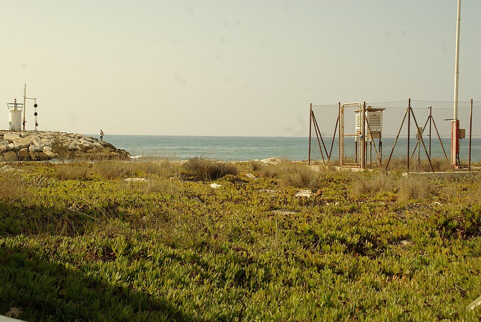
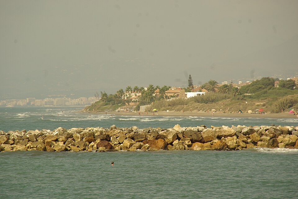
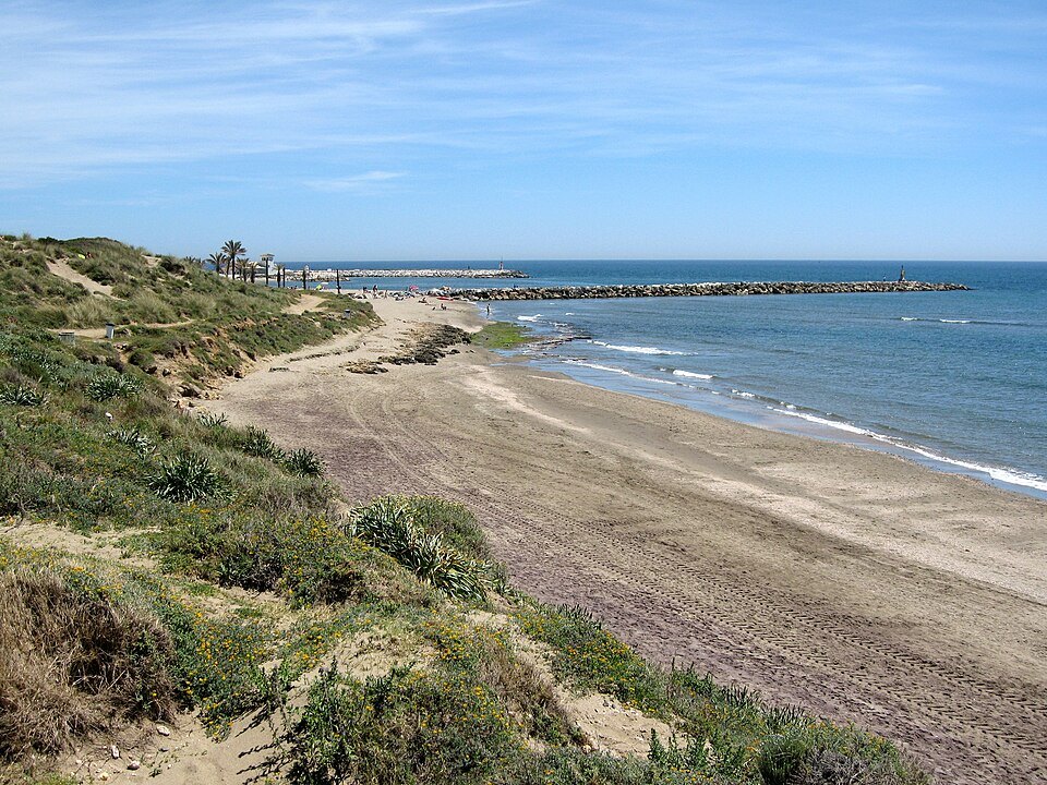
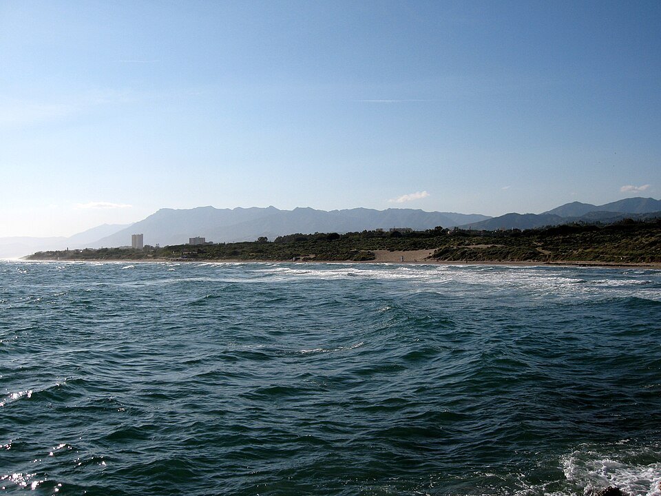
At the eastern end of the municipality, beside the small marina of Cabopino, is a system of fossil and moving dunes — a stretch of the coast as it looked before the resort, and protected as a natural site.
⭐ It is a genuinely different landscape from the rest of Marbella: sand, low scrub and pine instead of promenade and apartment blocks.
Torre Ladrones
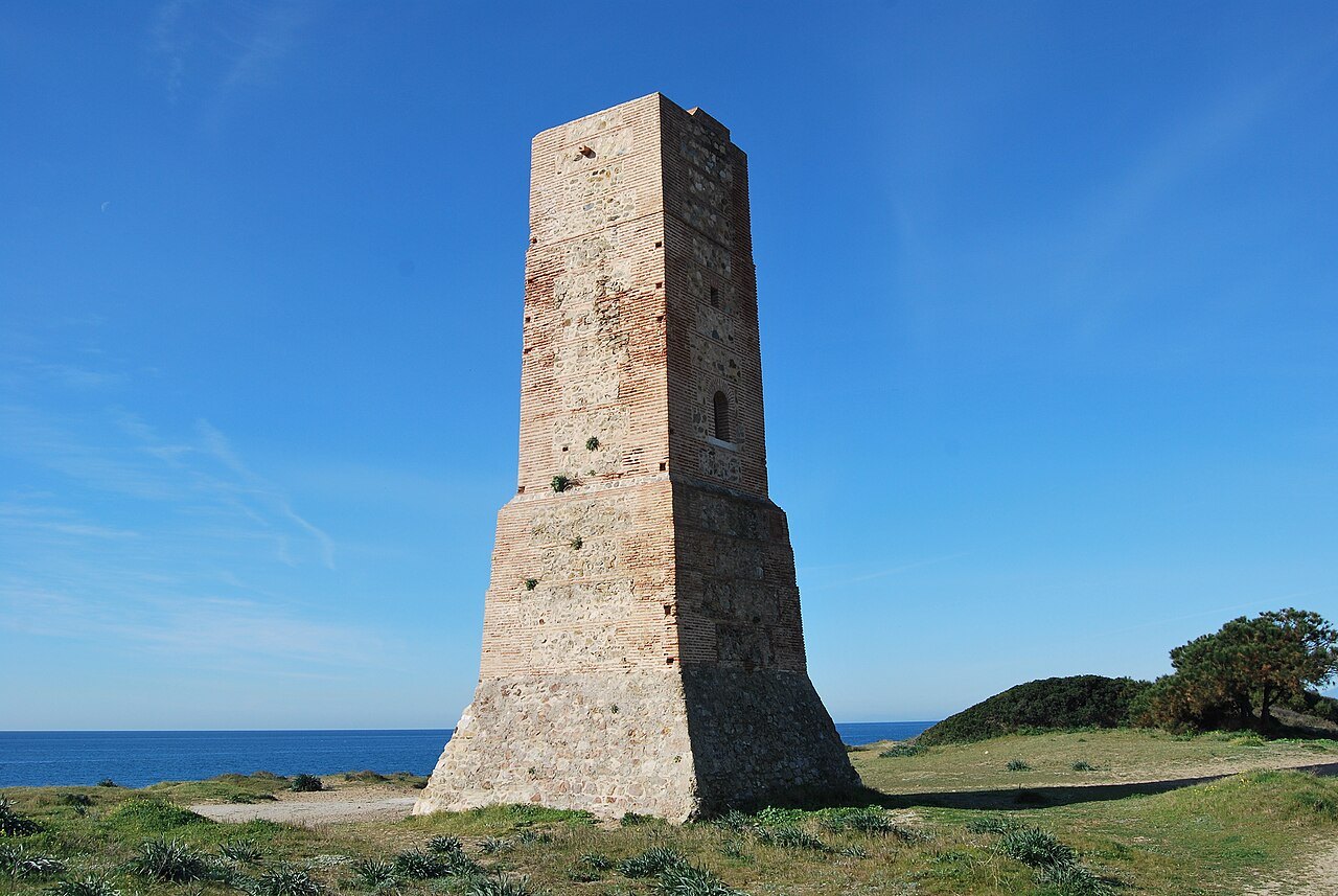
Standing in the dunes is the Torre Ladrones, a watchtower from the chain that once guarded this coast. The name does not mean thieves; it comes from the ladroneras, the machicolations from which defenders could drop things on anyone below.
Its construction is attributed to the Moorish period. It is square, more than 14 meters tall, with three rooms inside and a flat roof on top.
Getting it right
⚠️ Stay on the boardwalks. The dunes are fragile and protected, and walking on them destroys the plants that hold them together.
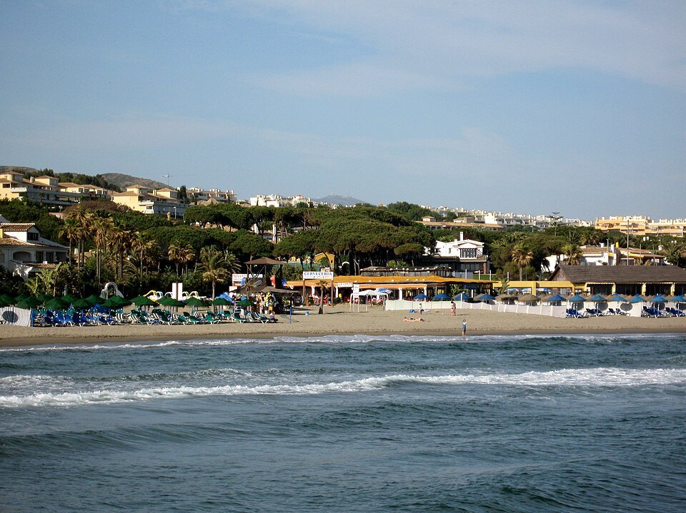
Cabopino's beach and marina are right next door. It is some way east of the center — see Getting Around.
What is protected
The dunes of Artola, also called the dunes of Cabopino, are a system of fossil dunes and moving dunes on the eastern coast of the municipality, a small surviving example of what this whole stretch of the Andalusian Mediterranean once looked like, now set in one of the most built-up parts of the Costa del Sol. They cover an area of 192,715 square meters.
The regional government declared them a Natural Monument of geological character by Decree 250/2003 of September 9, 2003, alongside places such as the Peña de los Enamorados near Antequera and the Cañón de las Buitreras. The decree notes that the protected area is larger than the ten hectares a Natural Monument normally covers, and was declared anyway to guarantee the conservation of its natural, scientific, cultural and landscape values. The declaration places the dunes in Andalusia's network of protected natural areas and closes them to mining claims.
Plants built for wind and sun
The vegetation is adapted to strong sun, scarce water and the constant battering of the wind. Among the commonest plants are marram grass, sea holly, the sea daffodil and shrubs such as the juniper called sabina caudada. These are exactly the plants that a careless footstep destroys, which is the reason for the boardwalks.
The tower in the dunes
The Torre Ladrones is the first of the watchtowers in the municipality of Marbella, counting from the east, and it stands beside the protected dunes with an unobstructed view, apart from an old house a few meters away on its east side. The heritage institute dates it to the Nasrid period, between the thirteenth and fifteenth centuries. It was often damaged and fell into ruin, and in the middle of the sixteenth century it was rebuilt, above all by strengthening its base with a ravelin, an outwork that gave it the shape it has today.
The tower is a square prism, about three and a half meters on each side and more than 14 meters high, built of rubble masonry with brick quoins and double courses of brick. Inside it was divided into three rooms with brick vaults on pendentives, linked by flights of stairs, with a hatch onto the roof; the record notes that none of those vaults survive and that the roof terrace has gone too. At its foot is a pyramidal ravelin with a square solid block above it. It has been completely restored, and it takes its name from the ladroneras at the top, the machicolations from which the tower keeper defended it.
A lookout on a wage
Royal instructions of 1497 and a provision of 1511 required that the Torre de Ladrones, then the next tower along from the Torre de la Mar at Marbella, be manned continuously by a lookout appointed by the town and paid twenty-five maravedís a day out of the taxes paid by the Moors. The tower served Muslims and Christians alike as a post for watching the coast.
Standing beside it today, with the sand on one side and the apartment blocks on the other, it is easy to see why the post mattered: from here a lookout could see a long way along an open, low coast, and pass a warning on to the next tower toward Marbella.
The last of the old coast
Geographers divide Marbella's land into five units: the Sierra Blanca, its foothills, the low hills, the river plains and the dunes. The coast is generally low and sandy, and the beaches grow wider the further east you go, between the fishing port and Cabopino. Despite the intense building along the shore, the eastern end of the municipality has kept this one stretch of dunes, which is why the contrast with the rest of the resort is so sharp.
Next to them are the marina of Cabopino and Cabopino beach, a naturist beach, so a walk through the dunes can end with a swim or a meal by the boats.
Sources
- Decreto 250/2003, por el que se declaran determinados Monumentos Naturales de Andalucía
- Torre Ladrones — IAPH, Guía Digital del Patrimonio Cultural de Andalucía
- Dunas de Artola — Wikipedia (es)
- Marbella — Wikipedia (es)