What it is
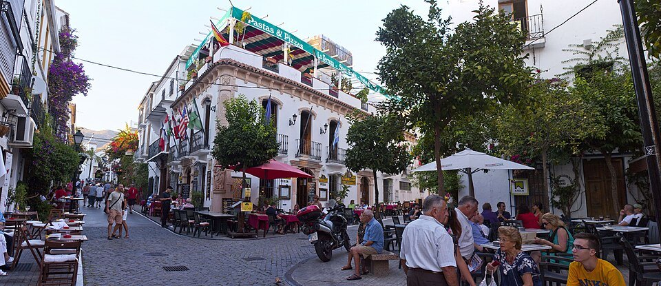
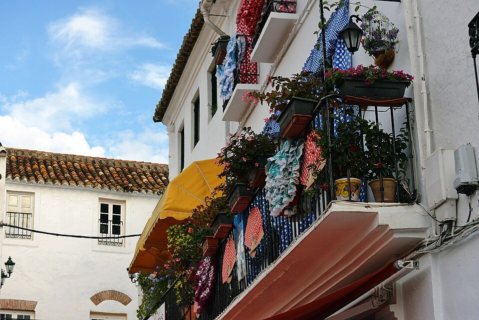
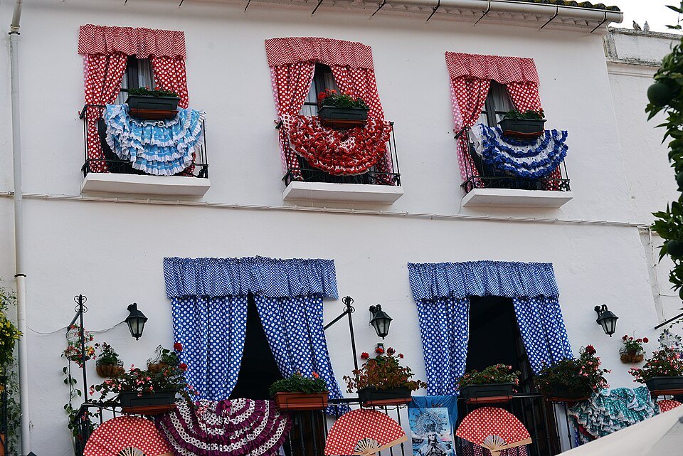
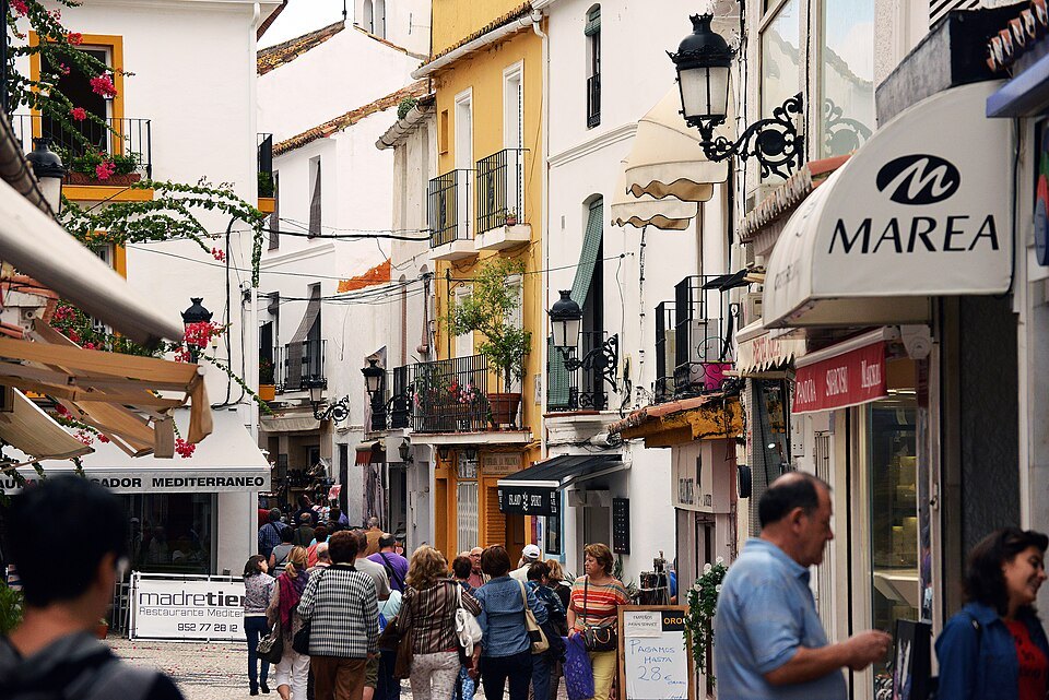
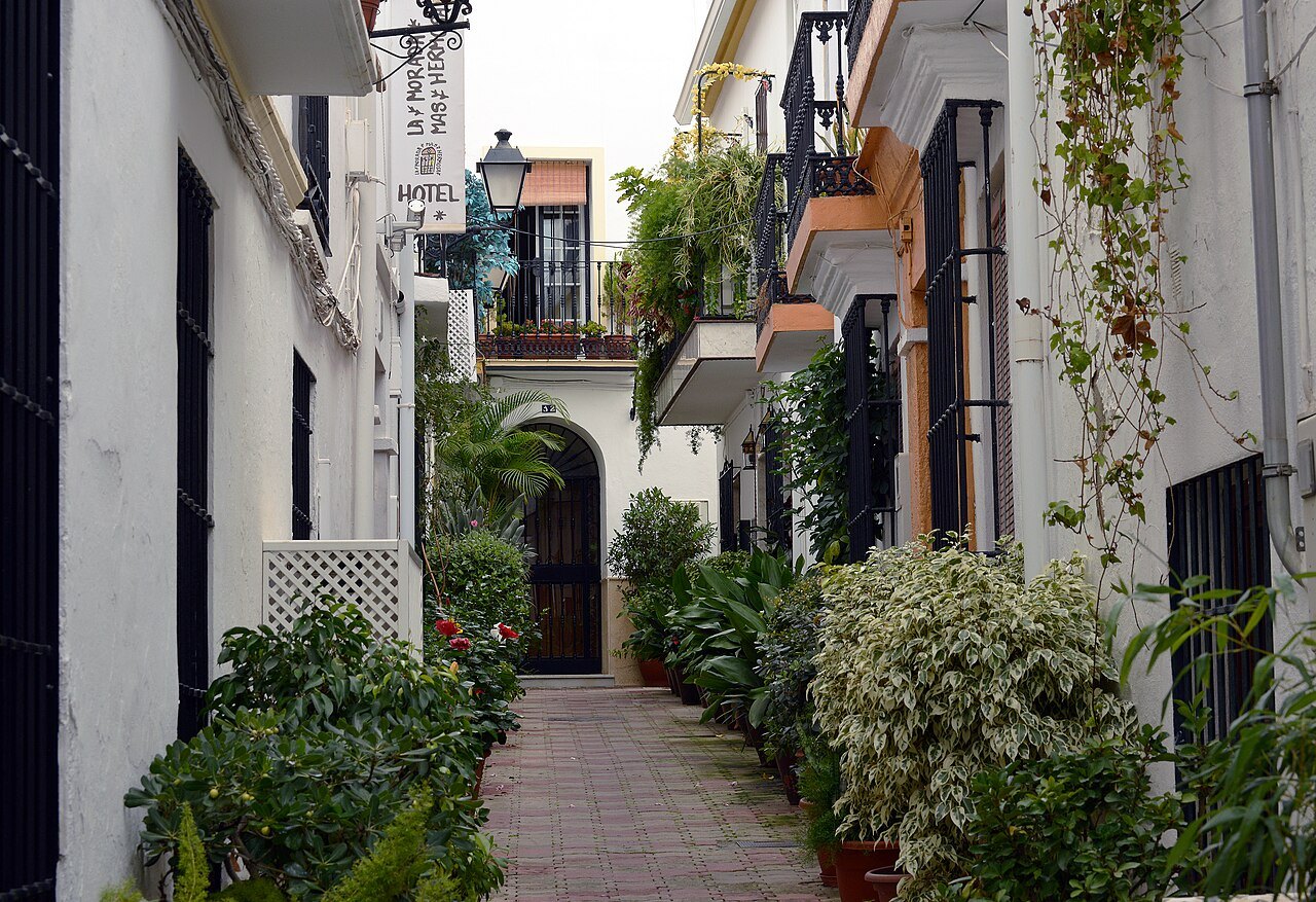
The casco antiguo is the town Marbella was before anyone came here for the beach: a Moorish walled town, taken by Castile in 1485, and the later quarter above it, the Barrio Alto, that grew up the slope outside the walls. The lanes are too narrow for cars, the walls are lime-washed every year, and the flowerpots on them belong to the people who live behind them.
⭐ It is small. You can cross it in ten minutes and still find a lane you missed on the third morning, which is the right way to treat it — as somewhere you pass through more than once.
What is in it
The Plaza de los Naranjos is the center of it. The church of the Encarnación stands a few steps away beside what is left of the castle walls, and the Museo del Grabado occupies a 16th-century hospital building on the edge of the quarter.
Up in the Barrio Alto, the Ermita del Santo Cristo de la Vera Cruz was built in the 16th century and enlarged in the 18th: a stone doorway, whitewash everywhere else, and a square bell tower capped in glazed tiles. Down in the lower town the small chapel of San Juan de Dios belonged to the old Hospital Real de la Misericordia.
Getting it right
⚠️ In July and August the lanes hold the heat. Come early in the morning, when the streets are being washed down, or in the evening once the sun is off the walls.
Do not try to drive in. Park below the old town, or walk up from the Alameda — it is five minutes, and the approach through the lanes is half the point.
Before Castile
There are signs of a Roman town here. Three Ionic capitals are built into one stretch of the castle walls, reused from an older building, and finds in calle Escuelas and elsewhere in the old town point the same way; the English Wikipedia article gives the Roman name as Salduba. The town you walk through, though, is essentially the Islamic one. After the Normans laid waste to the coast of Málaga, the town was fortified: a castle in the tenth century, then watchtowers along the shore and a wall around the town.
Inside the wall were narrow streets and small houses built around large patios, with the alcazaba and the mosque as the main buildings. Orchards surrounded it, famous for figs and for mulberry trees grown to feed silkworms. The town's name probably comes from the Arabic Marbal·la, which some linguists trace to an earlier Iberian place name, and the traveler Ibn Battuta called it a pretty little town in a fertile district. It was fought over by the taifa kingdoms of Algeciras and Málaga before ending up in the Nasrid kingdom of Granada, and on May 6, 1286 it gave its name to the Treaty of Marbella, which made peace between the Marinid sultan and the Nasrid king.
The three quarters
The Catholic Monarchs made Marbella a city, the head of its district and a royal town, and laid out the Plaza de los Naranjos on Castilian lines. The old town today covers the former walled precinct, which keeps roughly its sixteenth-century plan, and two historic suburbs outside it. At the end of the nineteenth century the town was still made up of exactly these three sectors: the barrio Principal, the barrio Alto and the barrio Nuevo.
The Barrio Alto runs north up the slope and is also called the barrio de San Francisco, after a Franciscan convent that has disappeared. The Barrio Nuevo lies to the east, separated from the walled town by the Arroyo de la Represa. It has no monuments, but it keeps its original street plan and many of its simple houses of lime, tile and timber beams, each with a garden plot and a small yard, which makes it the best place to see what ordinary Marbella looked like.
Buildings to look for
Besides the square, the church and the castle, the old town holds the Casa del Roque, the chapel of San Juan de Dios, the Hospital Real de la Misericordia and the old Hospital Bazán, now the engraving museum, all of them Renaissance in style. The Ermita de la Vera Cruz in the Barrio Alto is the seat of a brotherhood whose images include the Virgen Blanca, and its square tower with a glazed-tile roof is easy to pick out from the lanes below.
On the town's seaward side stood the Fort of San Luis, built in the seventeenth century. Its battery was completed in 1752, and it was blown up during the Peninsular War; the Hotel El Fuerte now stands on its site, and an underground passage once linked it to the castle.
Walking it
Treat the old town as a set of loops rather than a route. Start at the Plaza de los Naranjos, go up to the church and along the castle walls on calle Trinidad and calle Salinas, climb into the Barrio Alto for the Vera Cruz, then come back down and cross the line of the Arroyo de la Represa into the Barrio Nuevo, where the houses are plainer and the street plan is the oldest-looking of all.
Sources
- Marbella — Wikipedia (es)
- Marbella — Wikipedia
- Recinto amurallado de Marbella — IAPH, Guía Digital del Patrimonio Cultural de Andalucía
- Ermita del Santo Cristo de la Vera Cruz (Marbella) — Wikipedia (es)